
Berkas:Bouvet-Location.JPG
Berkas sujati (872x872 piksel, agengnyané berkas: 113 KB, soroh MIME:image/jpeg)


Ringkesan
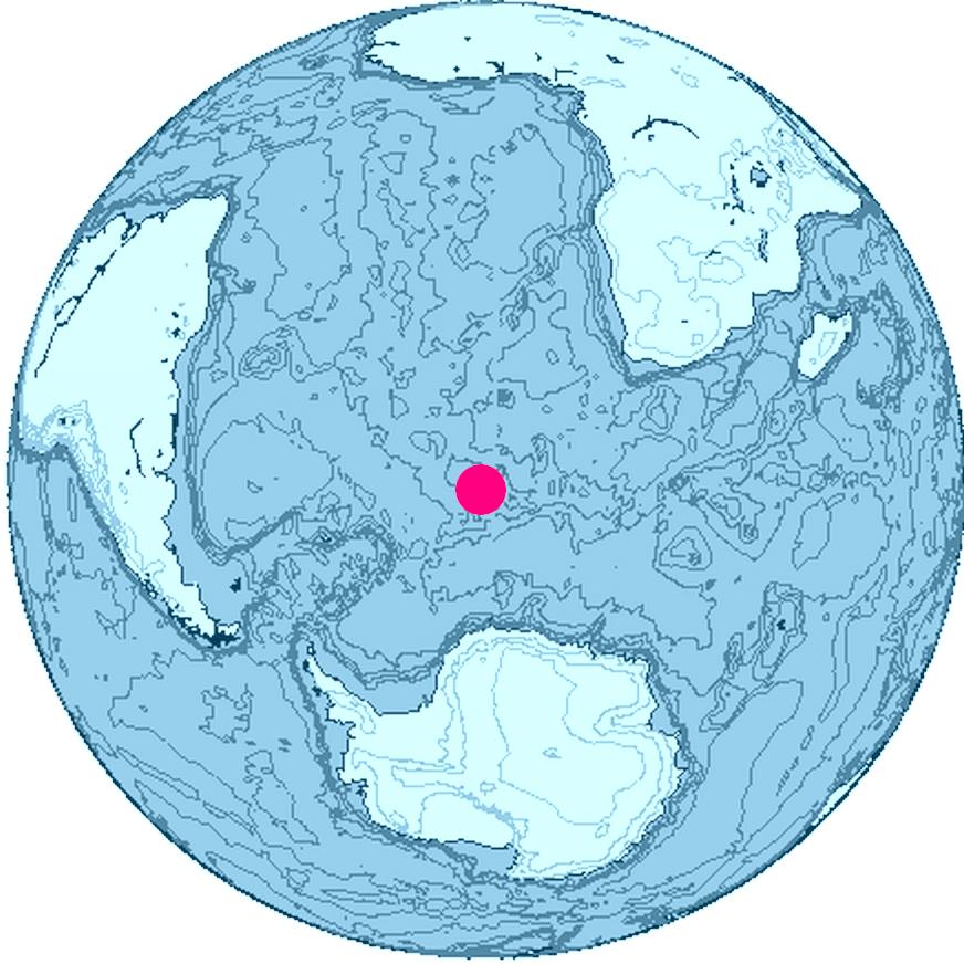
Location of Bouvet Island, South Atlantic Ocean, Antarctica
The map was created with this online map creation tool archive copy at the Wayback Machine.
Lisénsi

|
Karya ini adalah perangkat lunak bebas; Anda diizinkan untuk mendistribusikan dan/atau memodifikasi dokumen ini di bawah syarat-syarat Lisensi Publik Umum GNU yang diterbitkan oleh Free Software Foundation; Versi 2 atau lebih baru. Karya ini didistribusikan dengan harapan dapat berguna, tetapi tanpa jaminan apa pun; bahkan tanpa jaminan jual beli atau kesesuaian untuk tujuan tertentu. Lihat versi 2 dan versi 3 dari Lisensi Publik Umum GNU untuk informasi lebih lanjut. |
Babad berkas
Klik ring tanggal/galah anggén nyingakin berkas puniki ri tatkala galah punika.
| Tanggal/Galah | Gambar alit | Diménsi | Sang anganggé | Panampen | |
|---|---|---|---|---|---|
| mangkin | 27 Juni 2006 00.24 | | 872 × 872 (113 KB) | Apcbg | Location of Bouvet Island, South Atlantic Ocean, Antarctica The map was created with this [http://www.aquarius.geomar.de/omc/ online map creation tool]. |
Panganggén berkas
Kaca nganggén berkas puniki:
Panganggén berkas ring jagat
Wiki lianan ring sor puniki nganggén berkas puniki:
- Panganggén ring br.wikipedia.org
- Panganggén ring et.wikipedia.org
- Panganggén ring fi.wikipedia.org
- Panganggén ring fr.wiktionary.org
- Panganggén ring io.wikipedia.org
- Panganggén ring kk.wikipedia.org
- Panganggén ring my.wikipedia.org
- Panganggén ring ne.wikipedia.org
- Panganggén ring nn.wikipedia.org
- Panganggén ring pl.wiktionary.org
- Panganggén ring pnb.wikipedia.org
- Panganggén ring ro.wikipedia.org
- Panganggén ring ur.wikipedia.org